
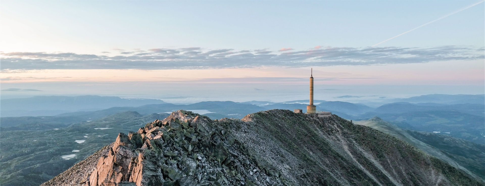
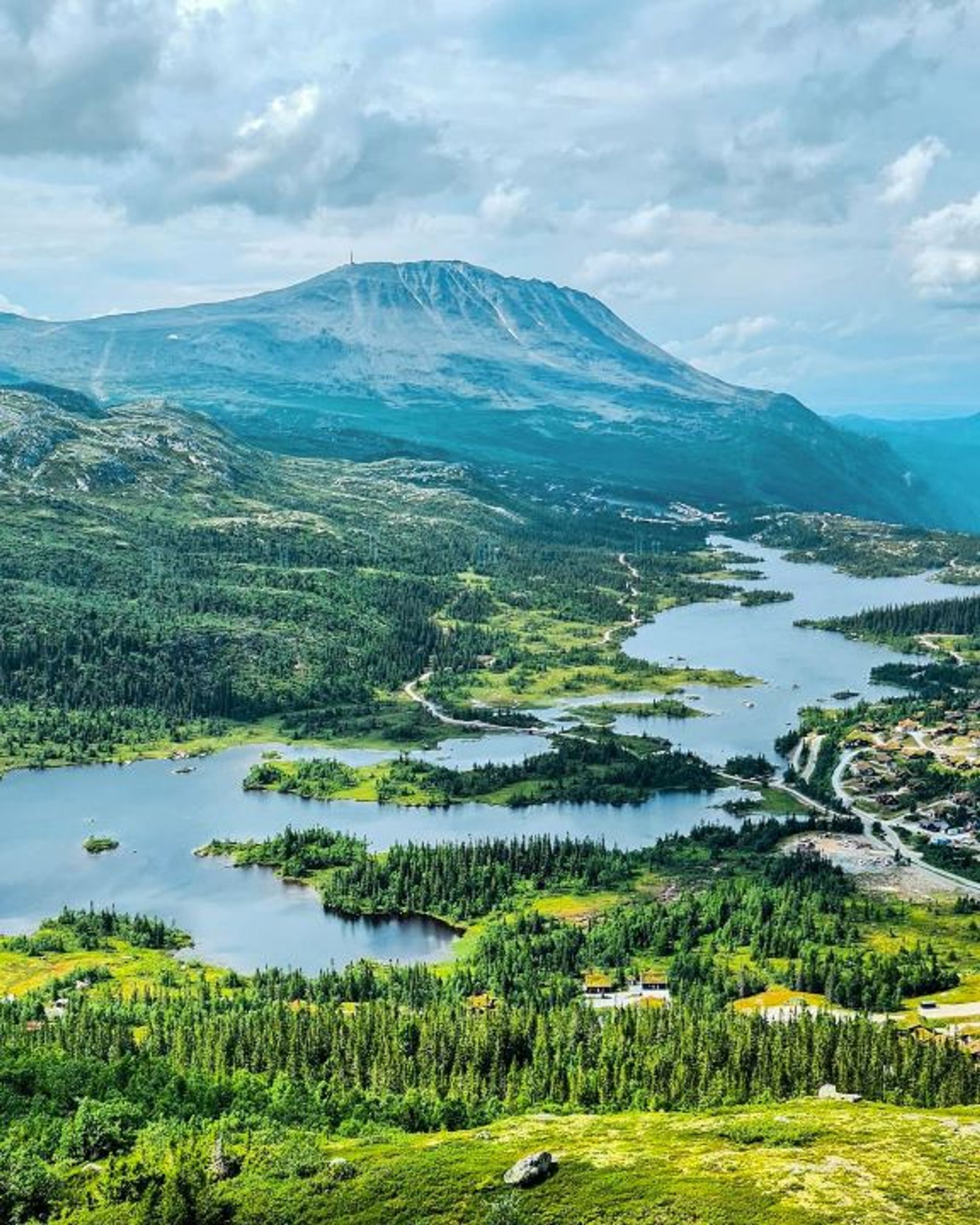
Hike to Gaustatoppen from Stavsro
The easiest and most popular hike to Gaustatoppen takes you along the southern side of the mountain and begins in Stavsro. The hike is 4.5 km one way and takes around 2 hours.
Hike to Gaustatoppen from Stavsro
The easiest and most popular hike to Gaustatoppen takes you along the southern side of the mountain and begins in Stavsro. The hike is 4.5 km one way and takes around 2 hours.
Hike to Gaustatoppen from Stavsro
The easiest and most popular hike to Gaustatoppen takes you along the southern side of the mountain and begins in Stavsro. The hike is 4.5 km one way and takes around 2 hours.
The route in brief
Start: Stavsro
Length: 4.5 km one way
Time: 1.5 – 2.5 hours one way
Vertical rise: ca 700 m (approx. 1,170-1,883 metres above sea level)
Difficulty: Easy/medium
Child-friendly: For children used to hiking
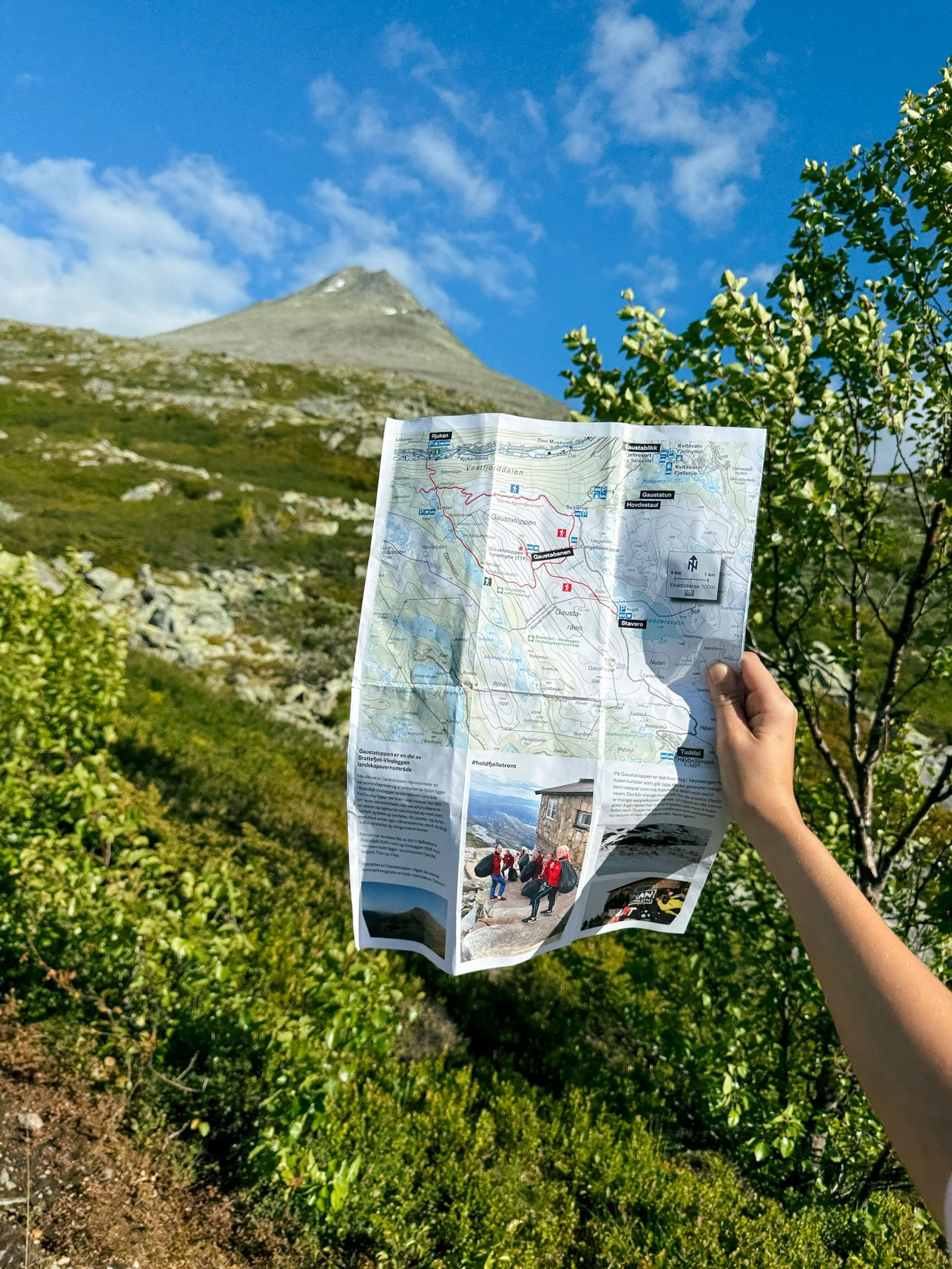
MAP
Getting there
Park at Stavsro, where there is a small pay car park with a limited number of spaces. If there are no spaces available, you could park at Bygget or Gaustablikk and take the bus to Stavsro instead.
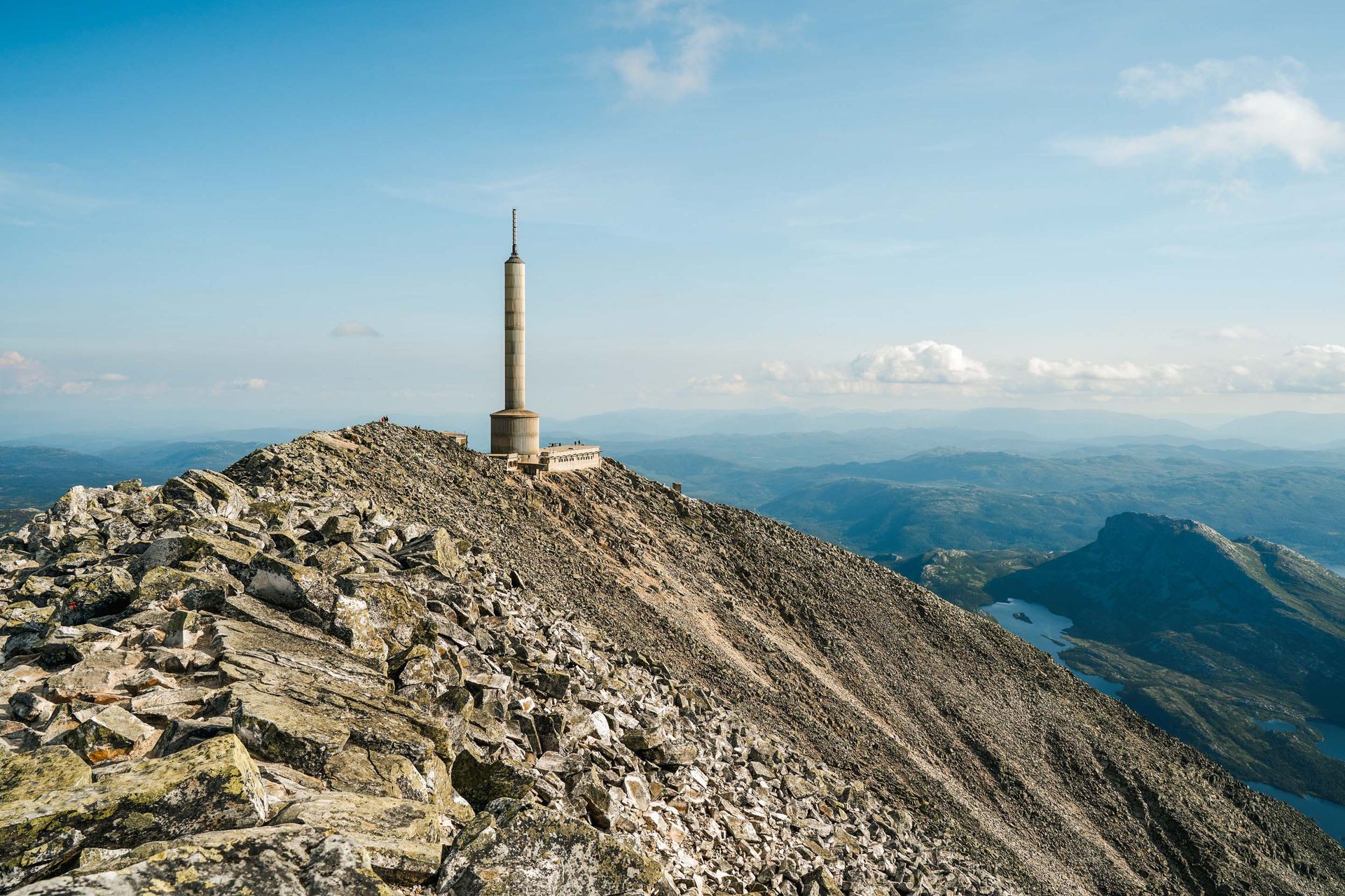
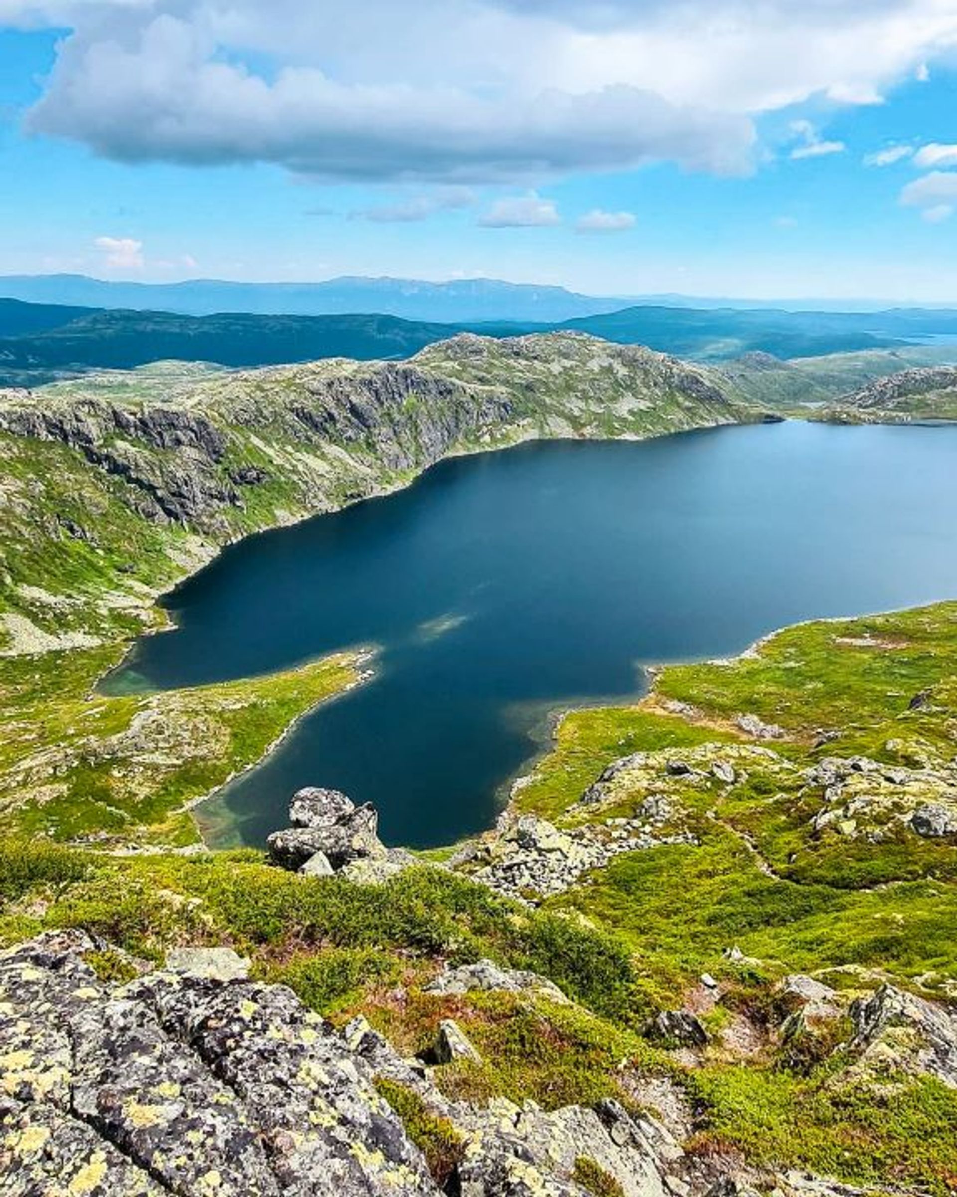
The mountain-top hike from Stavsro to Gaustatoppen begins at Stavsro car park. The hike is steep but the trail is wide, which makes it easy to walk. The trail is clearly marked with red ‘T’s painted on stones. Follow the trail to the summit and, on a clear day, a view of one-sixth of Norway.

Useful information
Gaustatoppen is known for its changeable weather so make sure to bring both rainwear and sun protection – you never know what to expect. The best time to do this mountain-top hike from Stavsro to Gaustatoppen is in the summer, from the beginning of July until September.
As the hike includes an ascent of a couple of hundred metres and rocky sections, it’s described as ‘Easy/medium difficulty’ – but it’s quite a simple hike for anyone used to hiking in the mountains. We recommend wearing hike-friendly trainers or hiking boots.
Hiking to Gaustatoppen
Start: Stavsro
Length: 4.5 km one way
Time: 1.5 –2.5 hours one way
Child-friendly: For children accustomed to hikes
Start: Svineroi or Gaustabanen station
Length: 4.3 km one way
Time: 3 hours one way
Child-friendly: For children accustomed to hikes
Start: Selstali Seter
Length: 7.4 km one way
Time: 2 - 3 hours
Child-friendly: For children accustomed to hikes
Start: Rjukan Rutebilstasjon
Length: 10.2 km one way
Time: 6-8 hours
Child-friendly: No
Hikes on Gausta

Start: Pose & Sekk Grocery store
Length: 5.1 km round trip
Time: 1–2 hours
Child-friendly: Yes
Start: Vatnedalen, by the end of Kvitåvatn
Length: 4.6 km round trip
Time: 3 hours
Child-friendly: For children accustomed to hiking

Start: Heddersvatn/Stavsro
Length: 7,2 km round trip
Time: 2-3 hours
Child-friendly: For children accustomed to hiking
Start: Kvitåvatn/Vatnedalen
Length: 6,2 km round trip
Time: 4 hours
Child-friendly: No

Remember
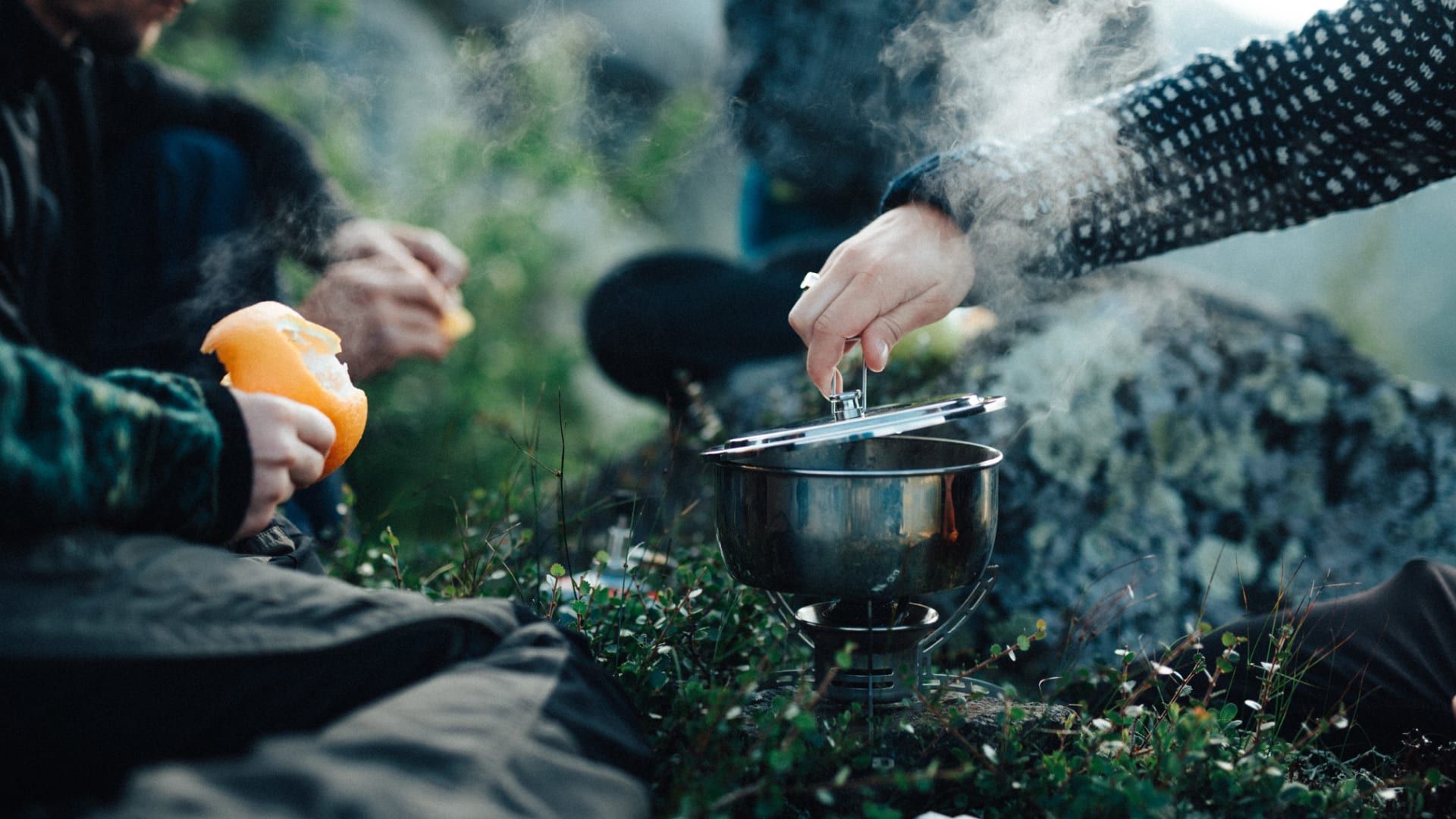
Dress appropriately and follow the Norwegian mountain safety code, which is a set of rules and advice that you should always have with you when you go out in the mountains. For example, make sure that you always plan your hike carefully and be prepared for bad weather and the cold, even on short hikes.

Download the Gausta app
Would you like to download the map to your phone? Download the Gausta app from App Store or Google Play! The app also has plenty of other useful information for your visit to Gausta.


